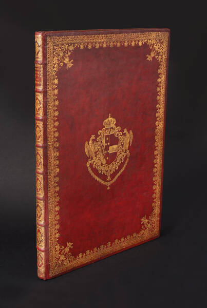
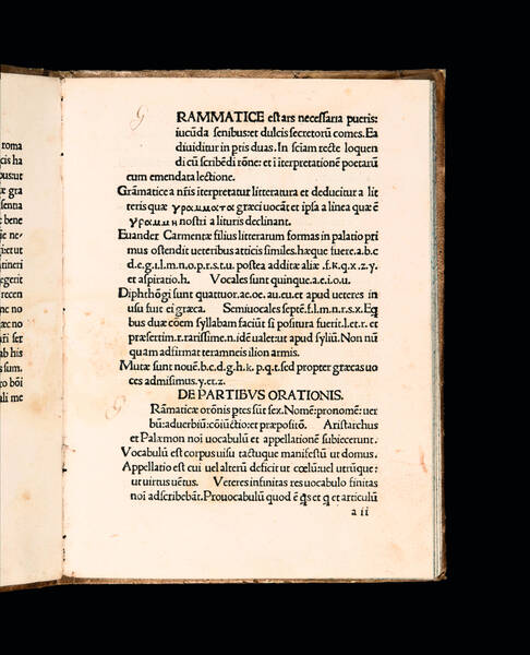
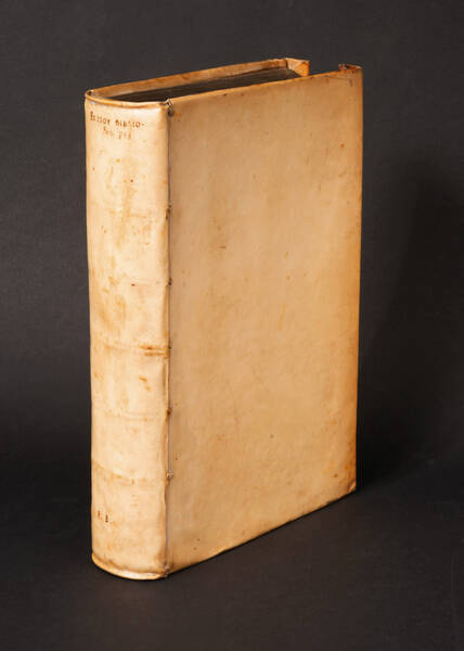
POMPONIUS MELA, IULIUS SOLINUS. Itinerarium Antonini Aug. Vibius Sequester. P. Victor de regionibus urbis Romae. Dionysius Afer de Situ orbis Prisciano interprete
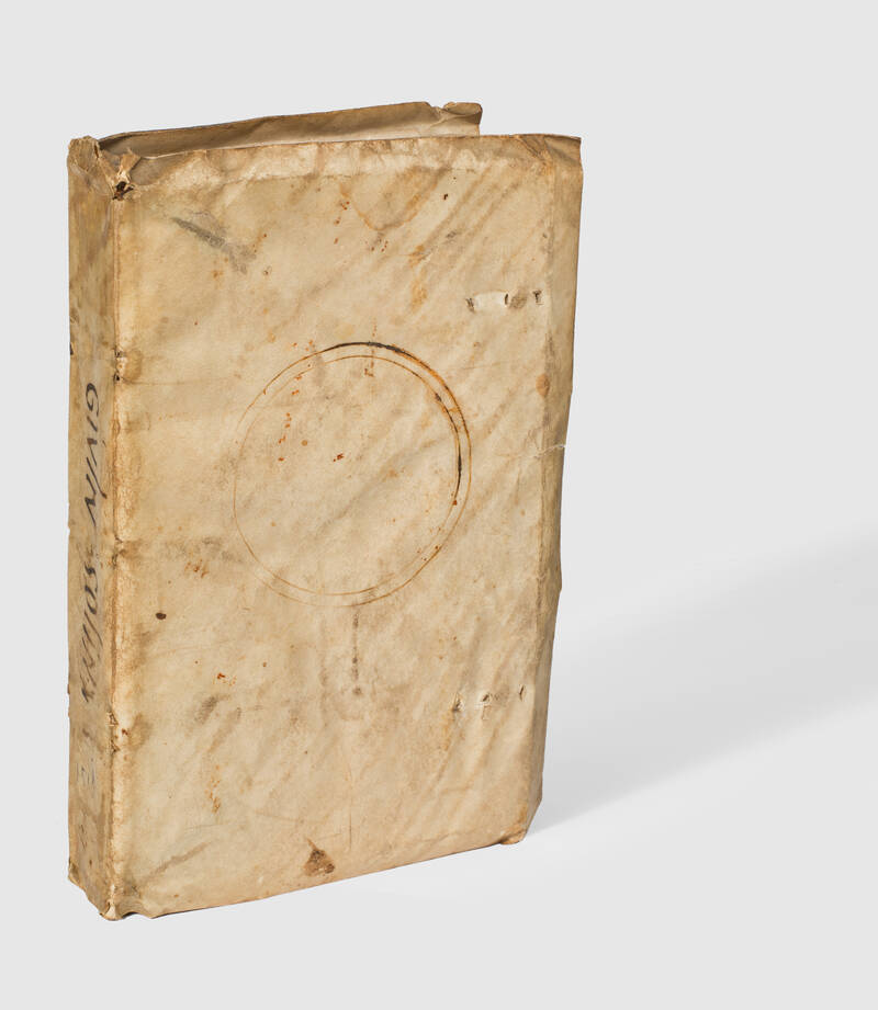
Venice, in aedibus Aldi et Andreae Soceri., October 1518.Octavo (162 x 98 mm.), 233, [4] leaves, woodcut printer's device on title-page and on last leaf. A very fine and genuine copy in contemporay limp vellum with manuscript title on spine.
First Aldine edition of this erudite collection of geographical works of the Classical world. The anthology is opened by Pomponius Mela's De situ orbis and Iulius Solinus' Polyhistor, but comprises also minor works such as the Itinerarium Antoninum, the description of Rome by Publius Victor, and the Latin in verse translation of Dionysius of Alexandria's Periegesis.This book reflects the humanistic interest in ancient geography and toponymy, which had been growing since Petrarch's rediscovery of Mela's and Pliny's descriptions of the world and the Latin translation of Claudius Ptolemy's Geographia, realized in Florence by Manuel Chrysoloras in the very last years of the 14th century.Pomponius Mela was a Spanish-born Roman geographer contemporary with the emperor Claudius. His Chorographia, written in ca. 40 D.E., is the earliest extant Roman geography. It consists of a summary of scientific geography, with a brief account of the earth and its three continents (Europe, Asia, and Africa), followed by detailed descriptions of the Mediterranean countries, Gaul, Germany, the Northern islands, India and the Persian Gulf, alternating purely geographical information with curious narratives on peoples, customs, legends and natural phenomena. Adhering to the Greek tradition of descriptive geography, Mela presented the geography of the world as a linear periplus along the inside and the outside coastlines (intra extraque), and thus had to divide the description of areas which have coastlines on the seas both “inside” and “outside” (Spain, Gaul) into two separate passages.We only know of the author Iulius Solinus through his work itself. Depending on whether one assumes him to be a linguistically innovative author or an unoriginal compilator, one dates the first version of his work to the late 3rd century or the 4th century A.D. Despite being a compiler and giving mostly second hand information, Solinus was to become a very popular geographer in Late Antiquity and the Middle Ages. Solinus relied principally on Pliny's geographical books, condensing their material; in so doing, he created a work which copyists, and readers, could handle more easily than the unwieldy mass of Pliny's work. His compendium achieved almost unrivalled popularity in the Middle Ages and the Early Modern period, also thanks to the fact that, unlike Mela and Pliny, Solinus enabled his readers to envisage a map, with cardinal points and relative positions of areas to each other. Solinus' description “was used by St. Augustine and by Marcianus Capella in the 5th century, by Priscianus to embellish his translation of Dionysius' Periegesis, and by St. Isidore for his encyclopaedic Etymologiae. In the 6th and 7th centuries, St. Aldhelmus and the Venerable Bede are amongst the users of Solinus' work. More than 250 codices transmit Solinus' work and are an impressive testimony to the relevance attributed to it for more than a millennium” (Brodersen, 304). “While we can only guess what kind of map Solinus or his readers may have envisaged, we have solid evidence that Solinus inspired later readers to introduce not only illustrations into the work, but also maps. It is surely no coincidence that in the 13th century Christian Mappamundi from Hereford more of the map's textual content can demonstrably be attributed to Solinus, who was almost certainly not a Christian, than to any other source (Isidore of Seville his only rival), particularly in Asia, Africa, and the Mediterranean Sea” (Brodersen, 309-310).
References: Renouard, 83; S. Gentile, Umanesimo e scienza antica: la riscoperta di Tolomeo geografo, in Il contributo italiano alla storia del pensiero, 2013; K. Brodersen, The Geographies of Pliny and his ‘Ape' Solinus, in Brill's Companion to Classical Geography, 2015, 298-310.
Other Books
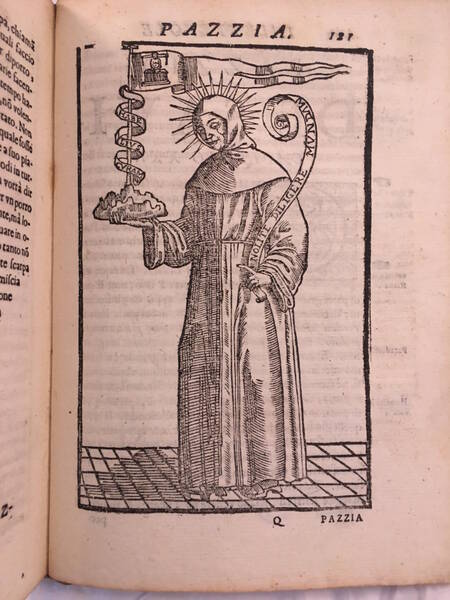
SPELTA, Antonio Maria
La saggia pazzia, fonte d’allegrezza, madre de’ piaceri, regina de’ belli humori.
€ 2.000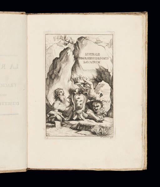
CATANI, Francesco Saverino
La reale medicide, esponente nella morte di Don Garzia i fatti più speciali di Cosimo Duca II. di Firenze ... Tragica festa teatrale, illustrata di...
€ 3.000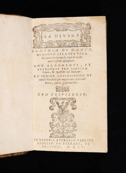
ALIGHIERI, Dante
La Diuina Comedia di Dante, di nuouo alla sua vera lettione ridotta con lo aiuto di molti antichissimi esemplari. Con argomenti, et allegorie per...
SOLD OUT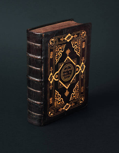
PETRARCA, Francesco
Il Petrarcha colla spositione di misser Giouanni Andrea Gesualdo. I Triomphi del Petrarcha colla spositione di misser Giouanni Andrea Gesualdo da...
SOLD OUT![Trattato della natura de’ cibi et del bere [...] nel quale non solo tutte le virtù, & i vitij di quelli minutamente si palesano; ma anco i rimedij per correggere i loro difetti copiosamente s’insegnano. Trattato della natura de’ cibi et del bere [...] nel quale non solo tutte le virtù, & i vitij di quelli minutamente si palesano; ma anco i rimedij per correggere i loro difetti copiosamente s’insegnano.](https://www.medariquier.com/typo3temp/pics/d4e0248596.jpeg)
PISANELLI, Baldassarre
Trattato della natura de’ cibi et del bere [...] nel quale non solo tutte le virtù, & i vitij di quelli minutamente si palesano; ma anco i rimedij...
SOLD OUT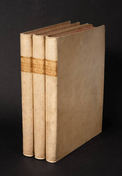
GAZZETTIERE AMERICANO
Il Gazzettiere Americano, contenente un distinto Ragguaglio di Tutte le Parti del Nuovo Mondo.
SOLD OUT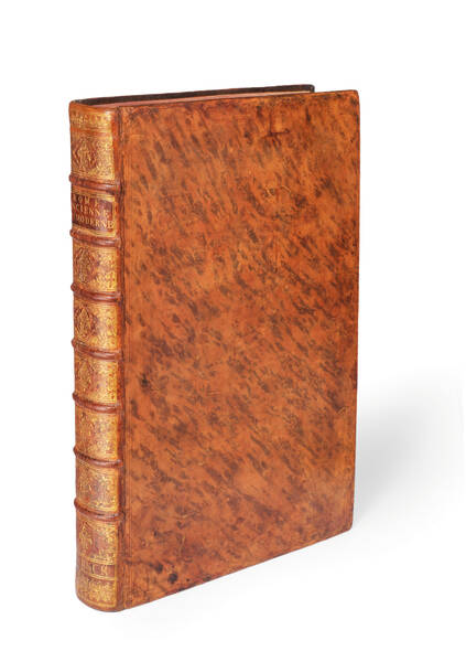
BARBAULT, Jean
Les plus beaux monuments de Rome ancienne.– Les plus beaux edifices de Rome moderne.
SOLD OUT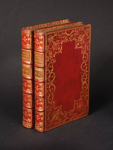
LUCRETIUS, Titus Carus
Della natura delle cose libri sei, tradotti dal Latino in Italiano da Alessandro Marchetti. Dati nuovamente in luce da Francesco Gerbault.
€ 7.000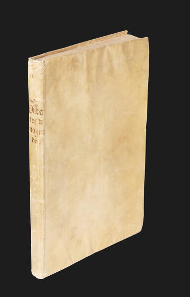
GILBERT, William
De magnete, magneticisque corporibus, et de magno magnete tellure; Physiologia nova, plurimis & argumentis, & experimentis demonstrata.
SOLD OUT![[De Architectura libri decem], M. Vitruuius per Iocundum solito castigatior factus cum figuris et tabula vt iam legi et intelligi possit. [De Architectura libri decem], M. Vitruuius per Iocundum solito castigatior factus cum figuris et tabula vt iam legi et intelligi possit.](https://www.medariquier.com/typo3temp/pics/b57e48f107.jpg)
VITRUVIUS POLLIO, Marcus
[De Architectura libri decem], M. Vitruuius per Iocundum solito castigatior factus cum figuris et tabula vt iam legi et intelligi possit.
SOLD OUT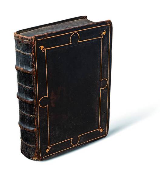
PLINIUS
Historia naturale di C. Plinio Secondo di latino in volgare tradotta per Christophoro Landino, nuouamente in molti luoghi, doue quella mancaua,...
SOLD OUTMEDA RIQUIER rare books ltd.
4 Bury Street St James's
SW1Y 6AB London
Phone +44 (0) 7770457377
info@medariquier.com
